Plan now to take advantage of these cutting-edge short courses as part of your GSA Connects 2026 experience in Denver.
*Multi-day courses are listed by first course day.

Prepare for the Fundamentals of Geology (FG) & Professional Geology (PG) exams.
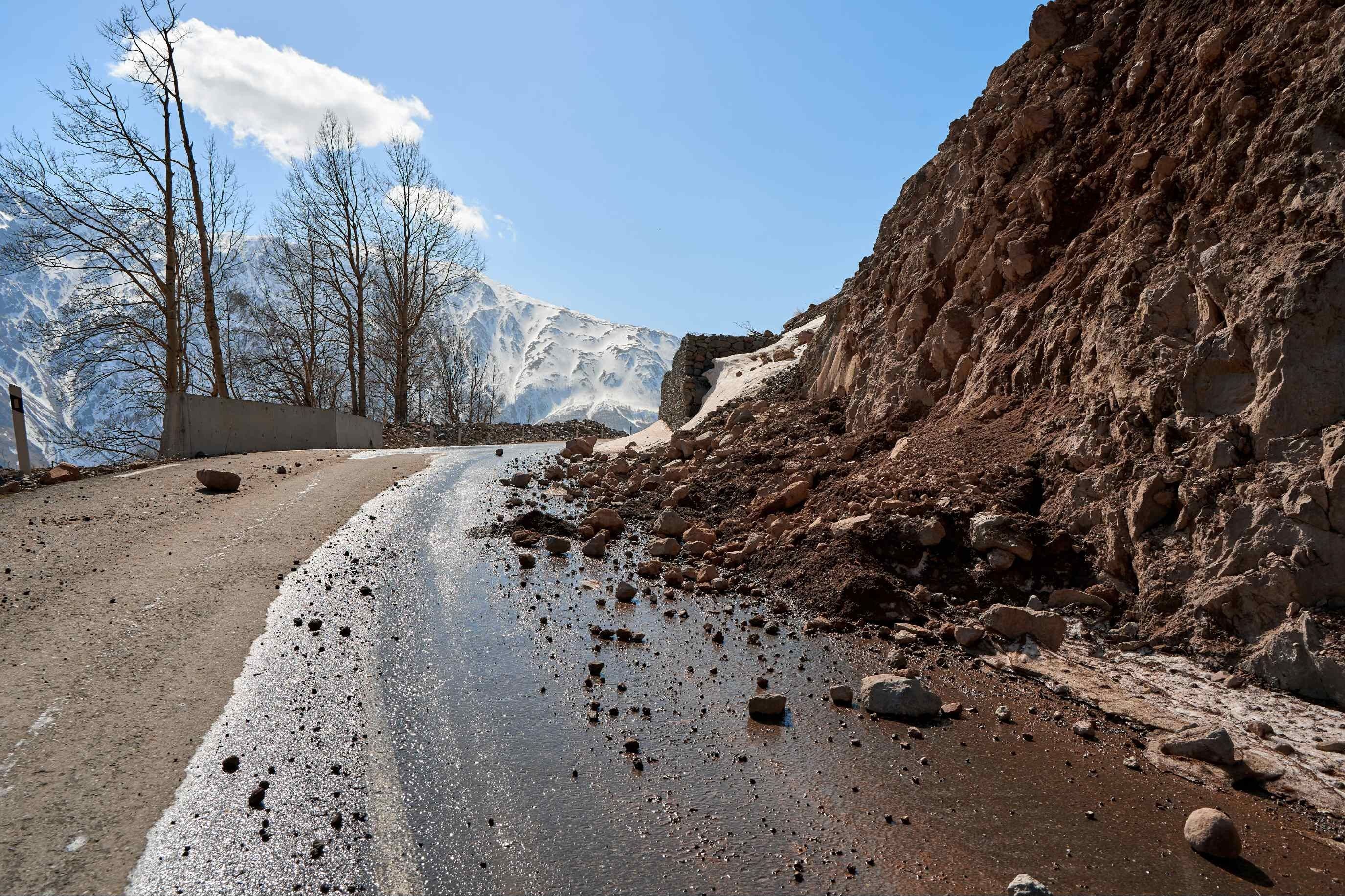
Build hazard assessment skills by mapping landslides using lidar, imagery, & GIS.
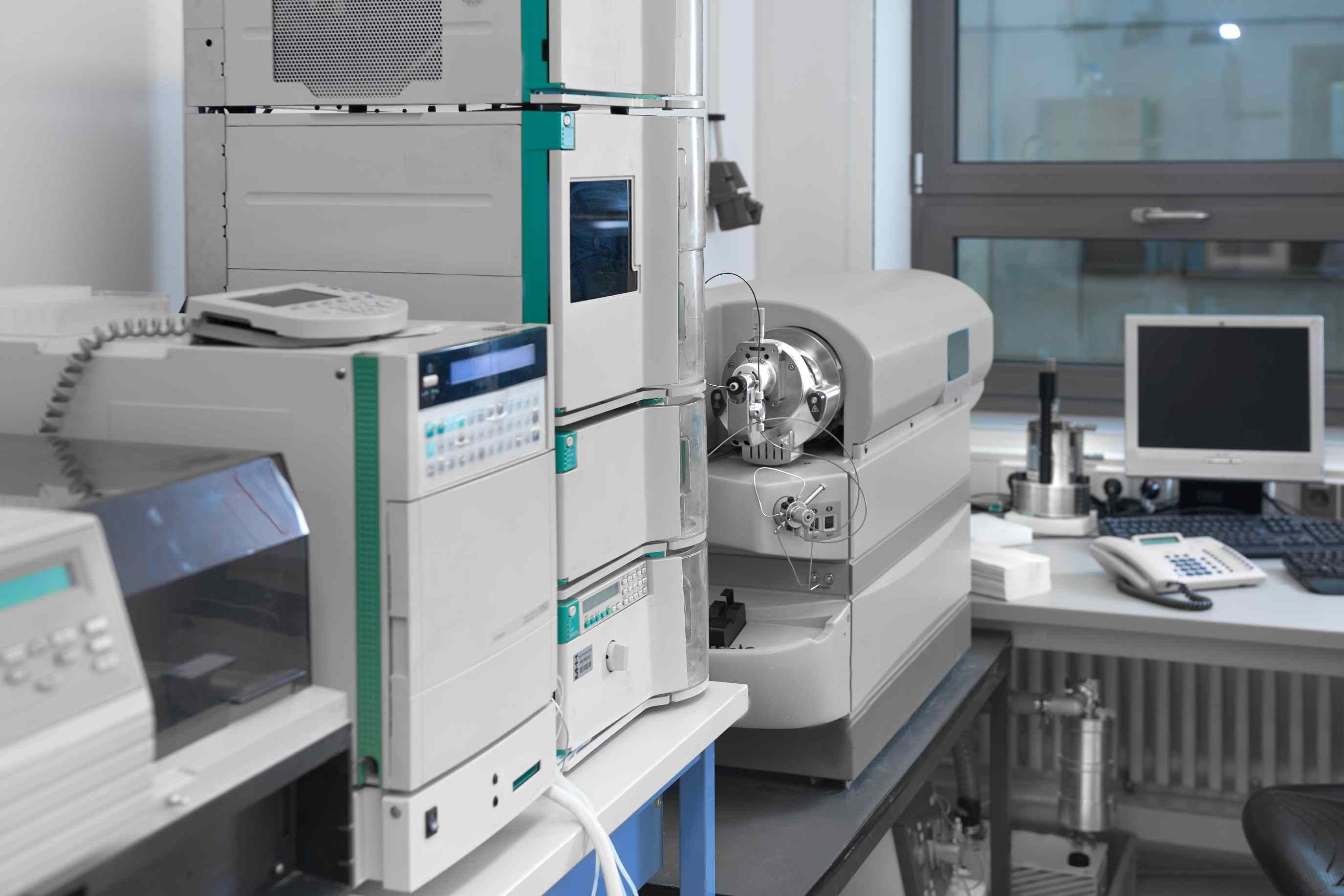
Gain analytical skills for geochronology, environmental monitoring, & more.
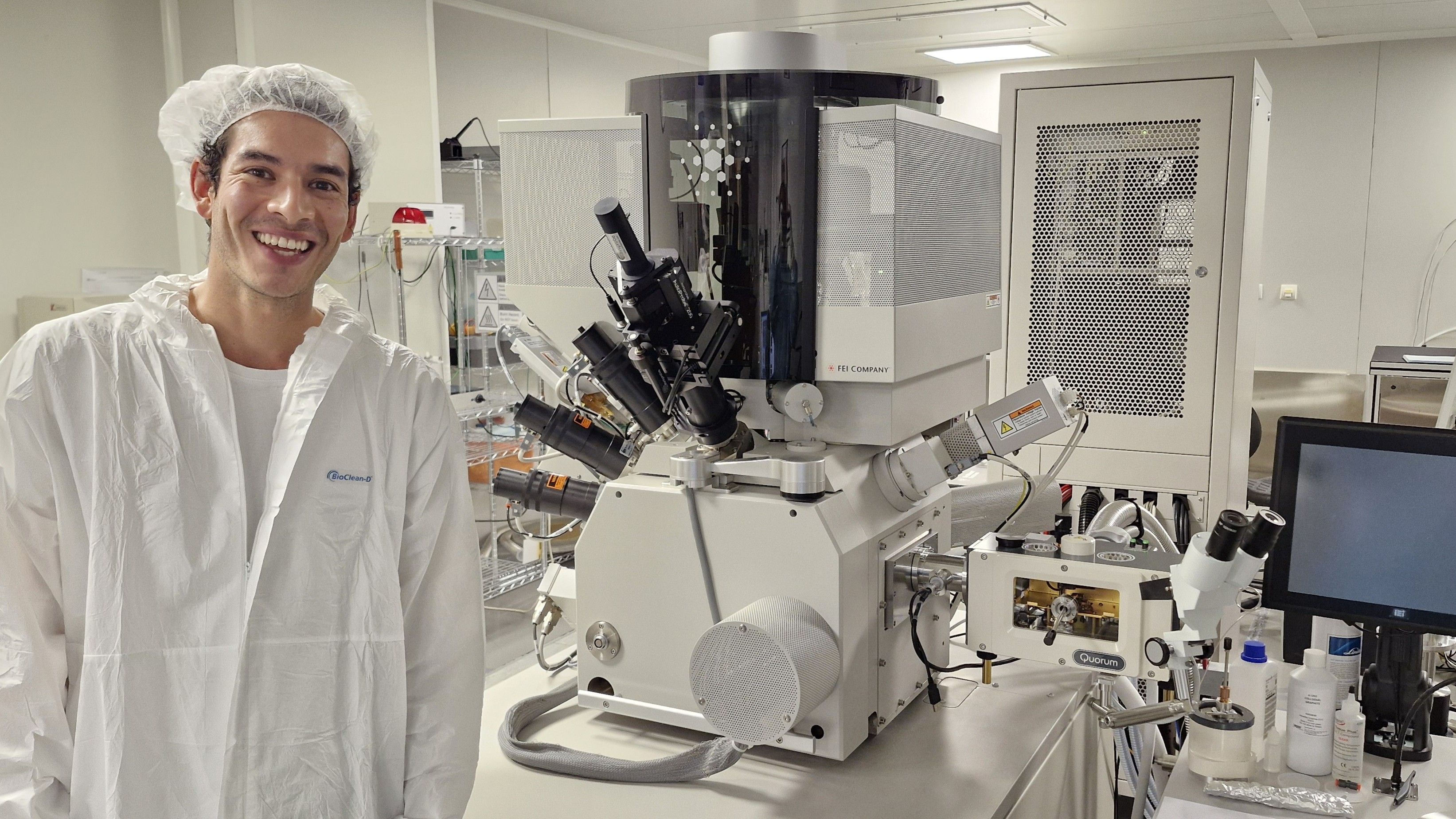
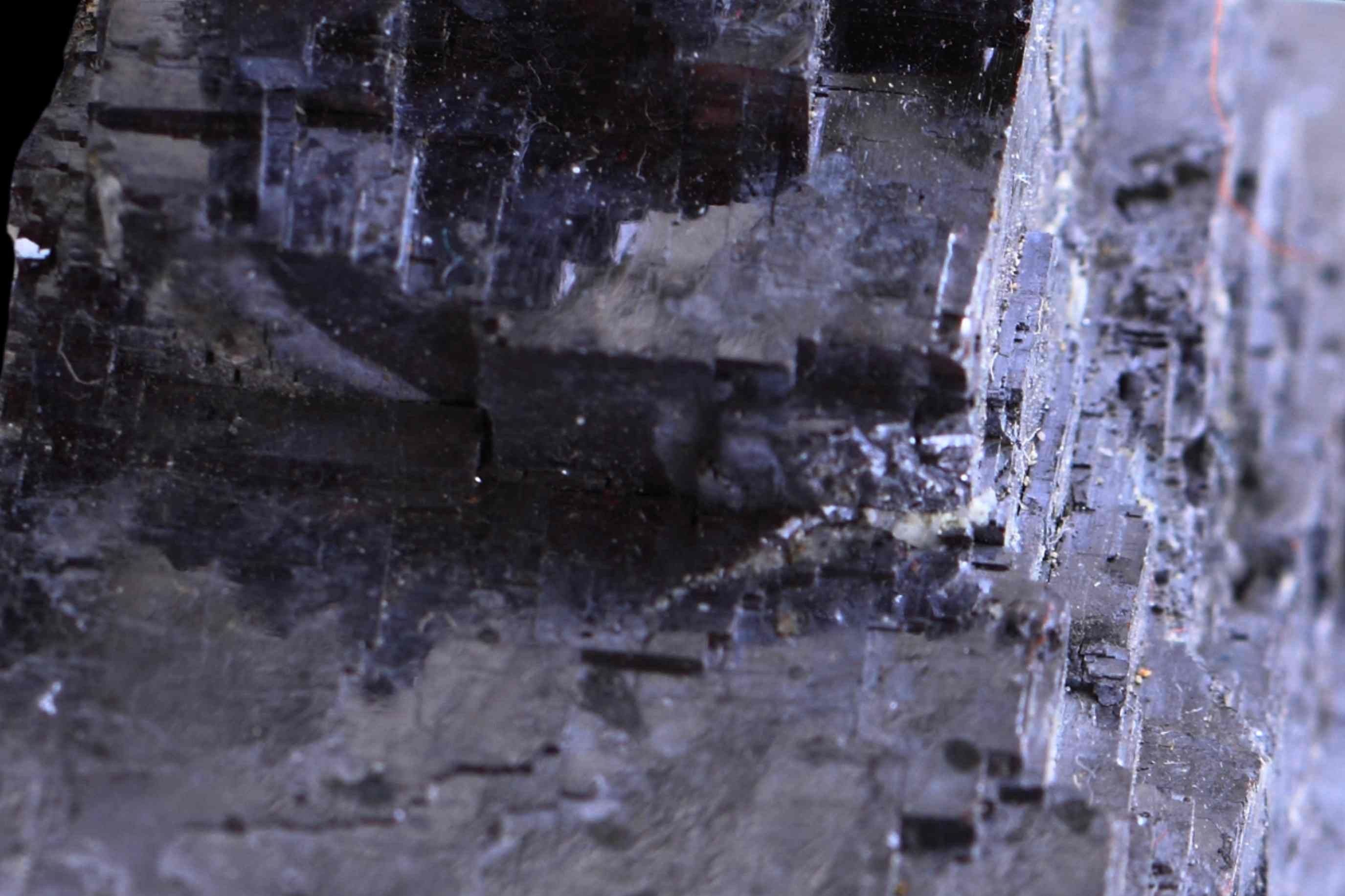
Develop expertise in microbeam geochronology of common minerals.
Develop expertise in microbeam geochronology of common minerals.

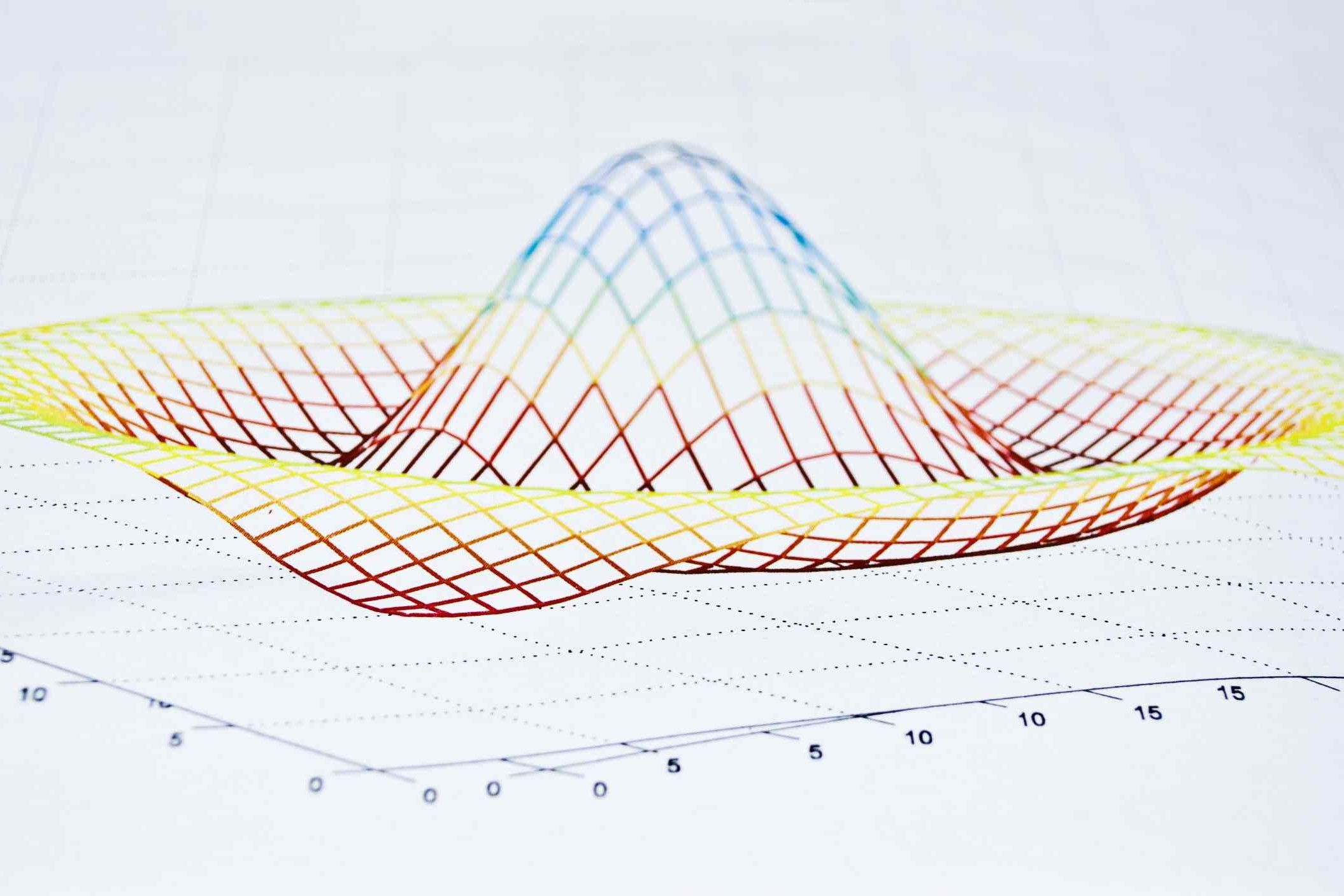
Visualize & model large geochronology datasets—no coding experience required.

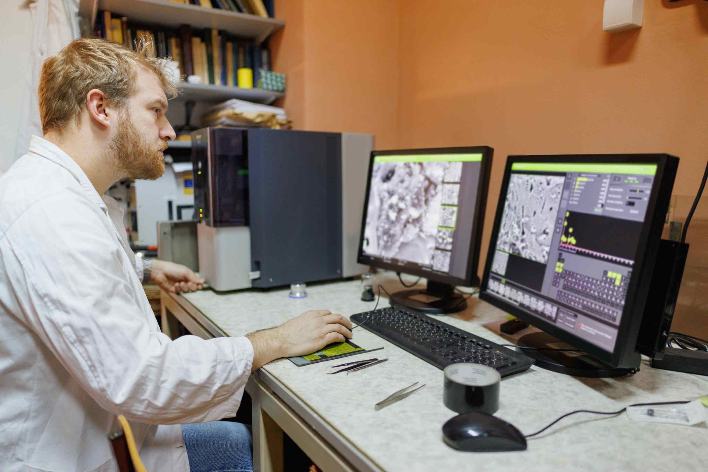
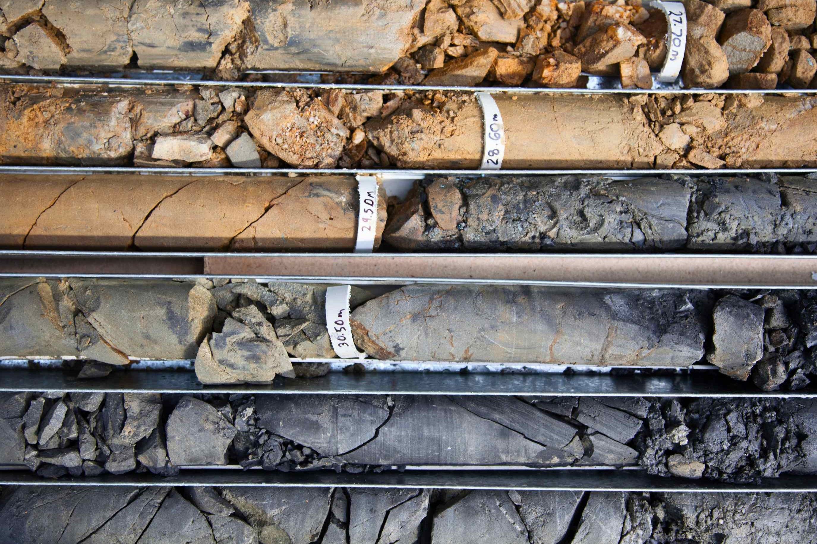
Gain hands-on data analysis & interpretation experience in geo- & petrochronology.
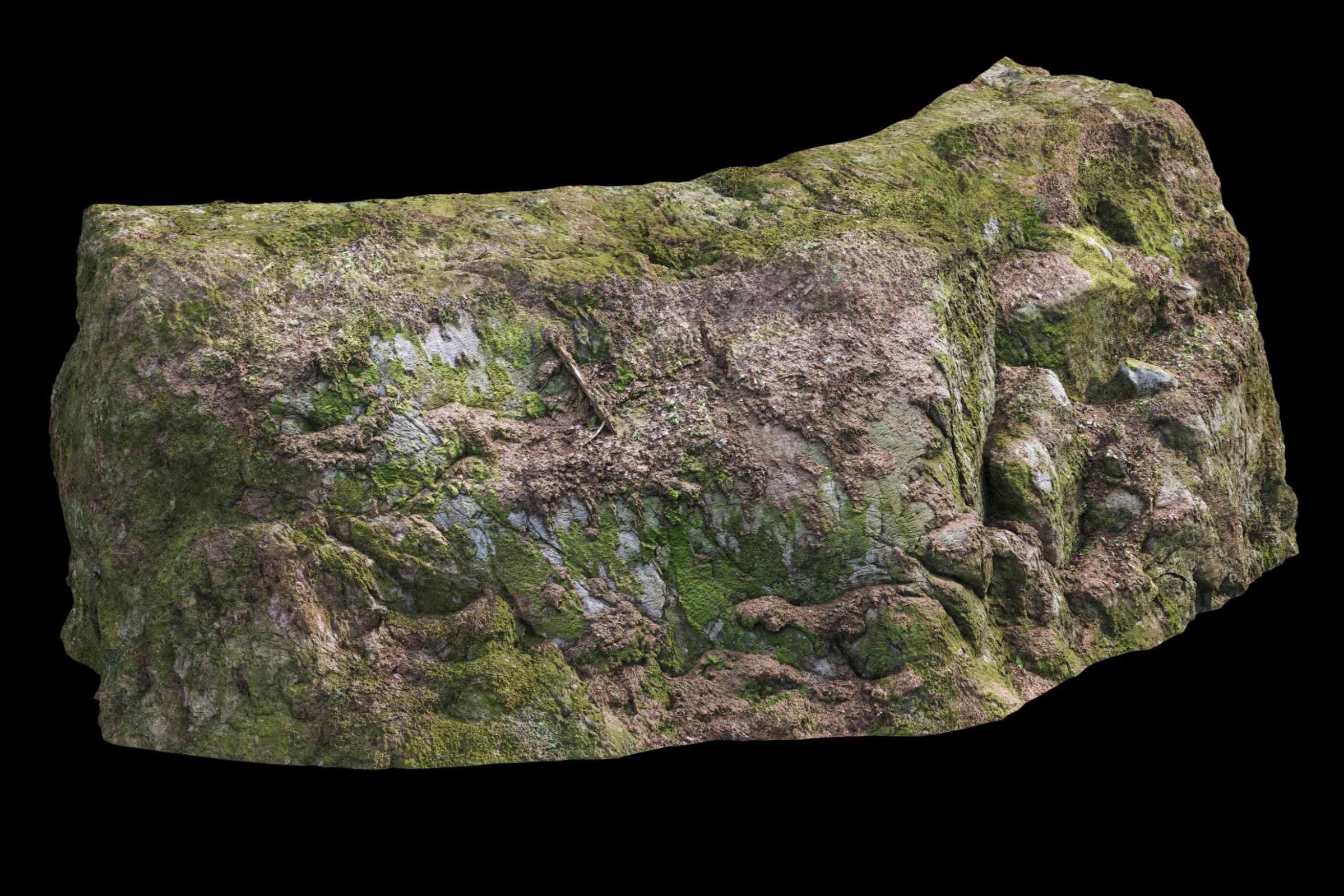
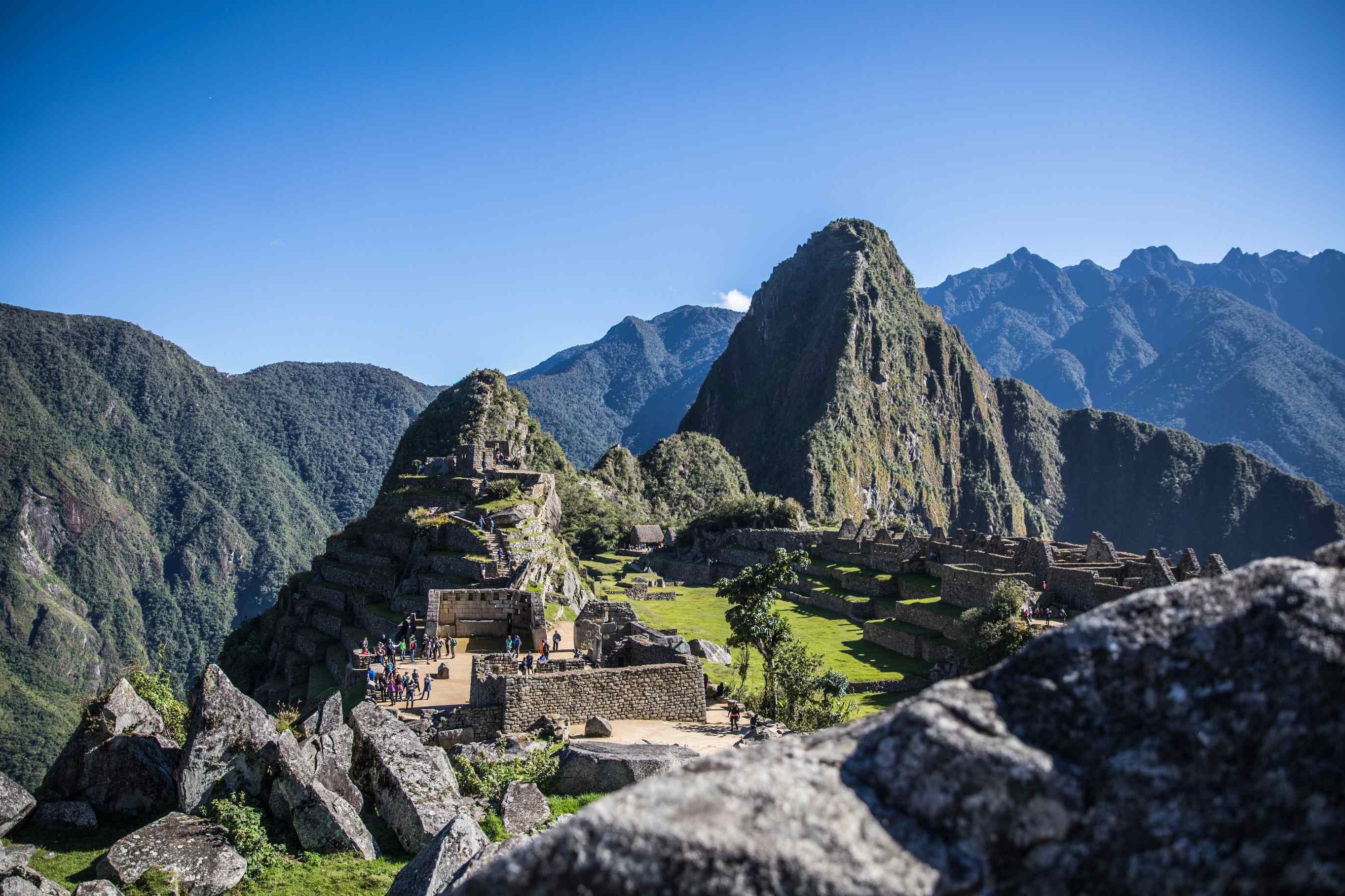
Create & interpret high-resolution 3D outcrop models for applied geoscience.
Use numerical models to investigate basin subsidence, heat flow, & tectonic evolution.
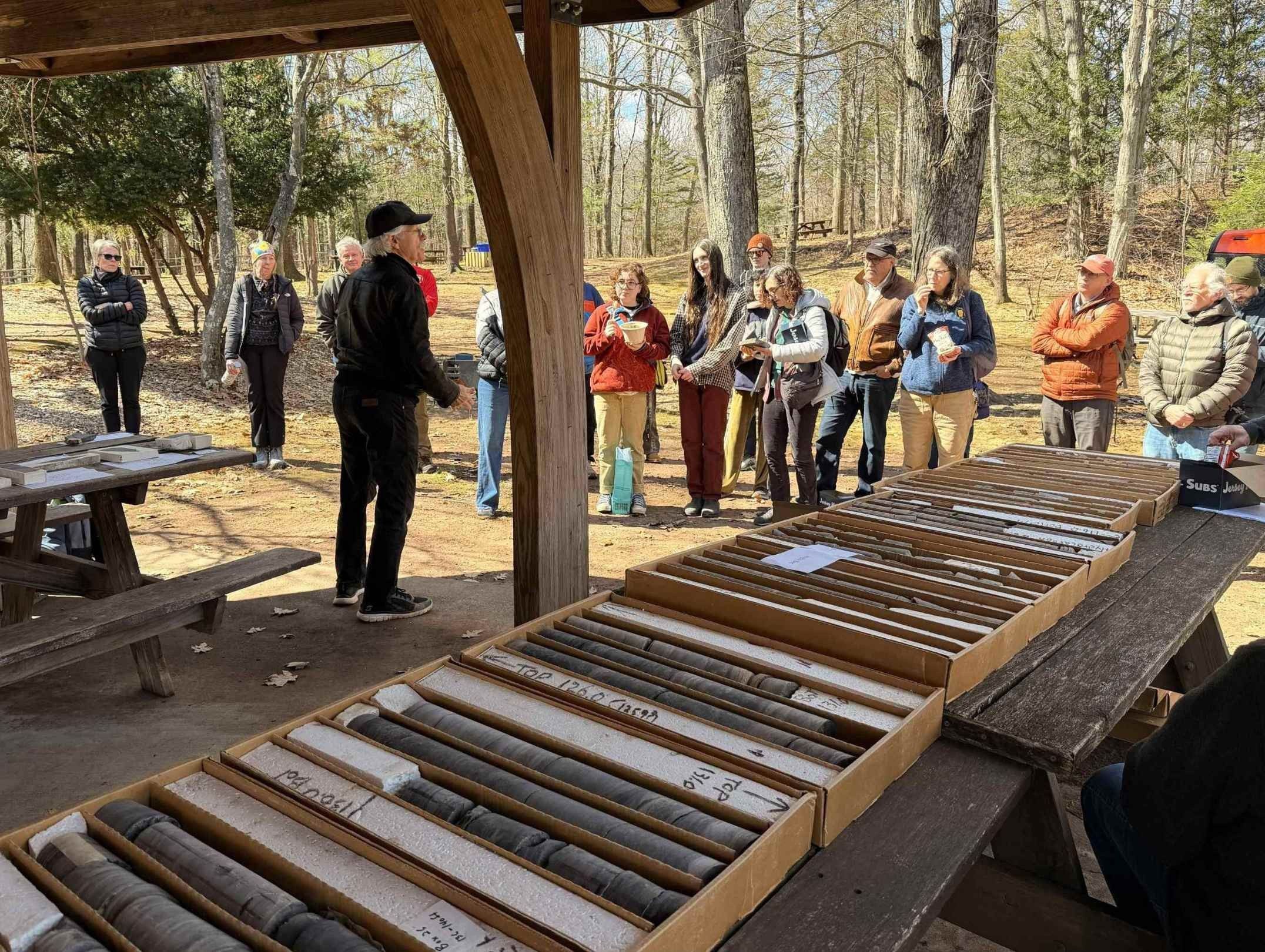
Contribute to large datasets that inform Earth history and paleoenvironments.

Work with digital field data collection tools designed for research & teaching.

Explore emerging dating techniques used in geology, archaeology, & environmental science.
Interpret landscape evolution & tectonic uplift using quantitative river profile modeling tools.

Learn how AI & integrated databases are transforming research, mapping, & data analysis.
Access & apply decades of ocean drilling data to support geoscience research.
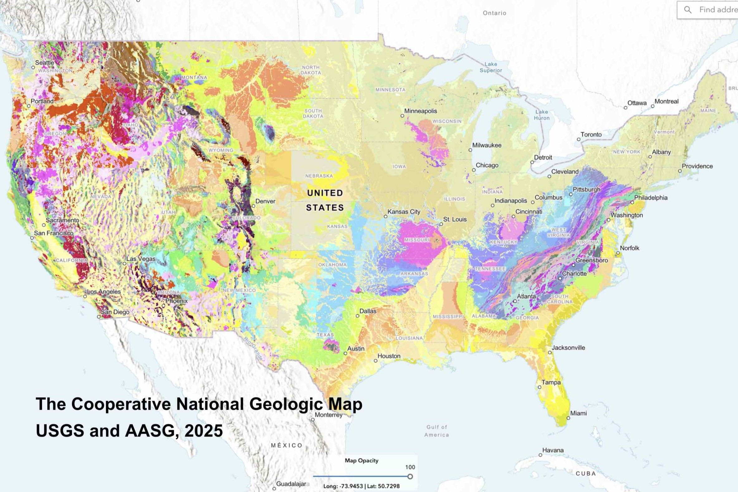
Analyze the newly released national geologic map to interpret large-scale geologic datasets.
SC26CN03. Methods and Geological Applications in Geo-Thermo-Petro-Chronology I. Fri., 9 Oct. 8 a.m.—5 p.m. Price: US$45 for non-members; US$35 for professional members; US$25 for student members; US$30 for early career professional members. CEUs: 0.80. Led by: Mauricio Ibanez-Mejia; Michelle Foley; Martin Senger; Manuela Botero.
REGISTER
SC26CN07. Quantitative analysis, visualization, and modelling of detrital geochronology data. Sat., 10 Oct. 8 a.m.—5 p.m. Price: US$90 for non-members; US$75 for professional members; US$45 for student members; US$60 for early career professional members. CEUs: 0.80. Led by: Joel Saylor; Kurt Sundell; Glenn Sharman; Ryan Nielsen; Chance Ronemus.
REGISTER
SC26CN08. Methods and geological applications in geo-thermo-petro-chronology II. Sat., 10 Oct. 8 a.m.—5 p.m. US$45 for non-members; US$35 for professional members; US$25 for student members; US$30 for early career professional members. CEUs: 0.80. Led by: Mauricio Ibanez-Mejia; Kendra Murray; Leah E Morgan.
REGISTER
SC26CN16. Scientific Ocean Drilling: Where is the data and how to use it. Sat., 10 Oct. 8 a.m.—5 p.m. Price: US$125 for non-members; US$105 for professional members; US$60 for student members; US$85 for early career professional members. CEUs: 0.80. Led by: Beth A Christensen; Laurel B Childress.
REGISTER
SC26CN03. Methods and Geological Applications in Geo-Thermo-Petro-Chronology I. Fri., 9 Oct. 8 a.m.—5 p.m. Price: US$45 for non-members; US$35 for professional members; US$25 for student members; US$30 for early career professional members. CEUs: 0.80. Led by: Mauricio Ibanez-Mejia; Michelle Foley; Martin Senger; Manuela Botero.
REGISTER
SC26CN05. Fundamentals and Geoscience Applications of Time-of-Flight Mass Spectrometry. Sat., 10 Oct. 8 a.m.—5 p.m. Price: Price: US$15. CEUs: 0.80. Led by: John Cottle; Andrew Kylander-Clark; Morgan Adamson.
REGISTER
SC26CN06A. U-Th-Pb Geochronology of Common Pb-Bearing Minerals for Microbeam Analysis – Community Building and Reference Material Development (In-Person). Sat., 10 Oct. 8 a.m.—5 p.m. Price: US$130 for non-members; US$105 for professional members; US$65 for student members; US$90 for early career professional members. CEUs: 0.80. Led by: Kate Souders; Paul Sylvester.
REGISTER
SC26CN06B. U-Th-Pb Geochronology of Common Pb-Bearing Minerals for Microbeam Analysis – Community Building and Reference Material Development. (Online). Sat., 10 Oct. 8 a.m.—5 p.m. Price: US$45. CEUs: 0.80. Led by: Kate Souders; Paul Sylvester.
REGISTER
SC26CN08. Methods and geological applications in geo-thermo-petro-chronology II. Sat., 10 Oct. 8 a.m.—5 p.m. US$45 for non-members; US$35 for professional members; US$25 for student members; US$30 for early career professional members. CEUs: 0.80. Led by: Mauricio Ibanez-Mejia; Kendra Murray; Leah E Morgan.
REGISTER
SC26CN12. StraboField and StraboMicro for Early Career Professionals. Sat., 10 Oct. 8 a.m.—5 p.m. Price: US$25. CEUs: 0.80. Led by: Doug Walker; Julie Newman; Basil Tikoff; Ellen Nelson.
REGISTER
SC26CN15. Ai Tools and Databases for Geoscience. Sat., 10 Oct. 8 a.m.—12 p.m. Price: US$75 for non-members; US$60 for professional members; US$40 for student members; US$50 for early career professional members. CEUs: 0.40. Led by: James G Ogg; Grant M Boquet; Yitian Xiao; Michael Stephenson.
REGISTER
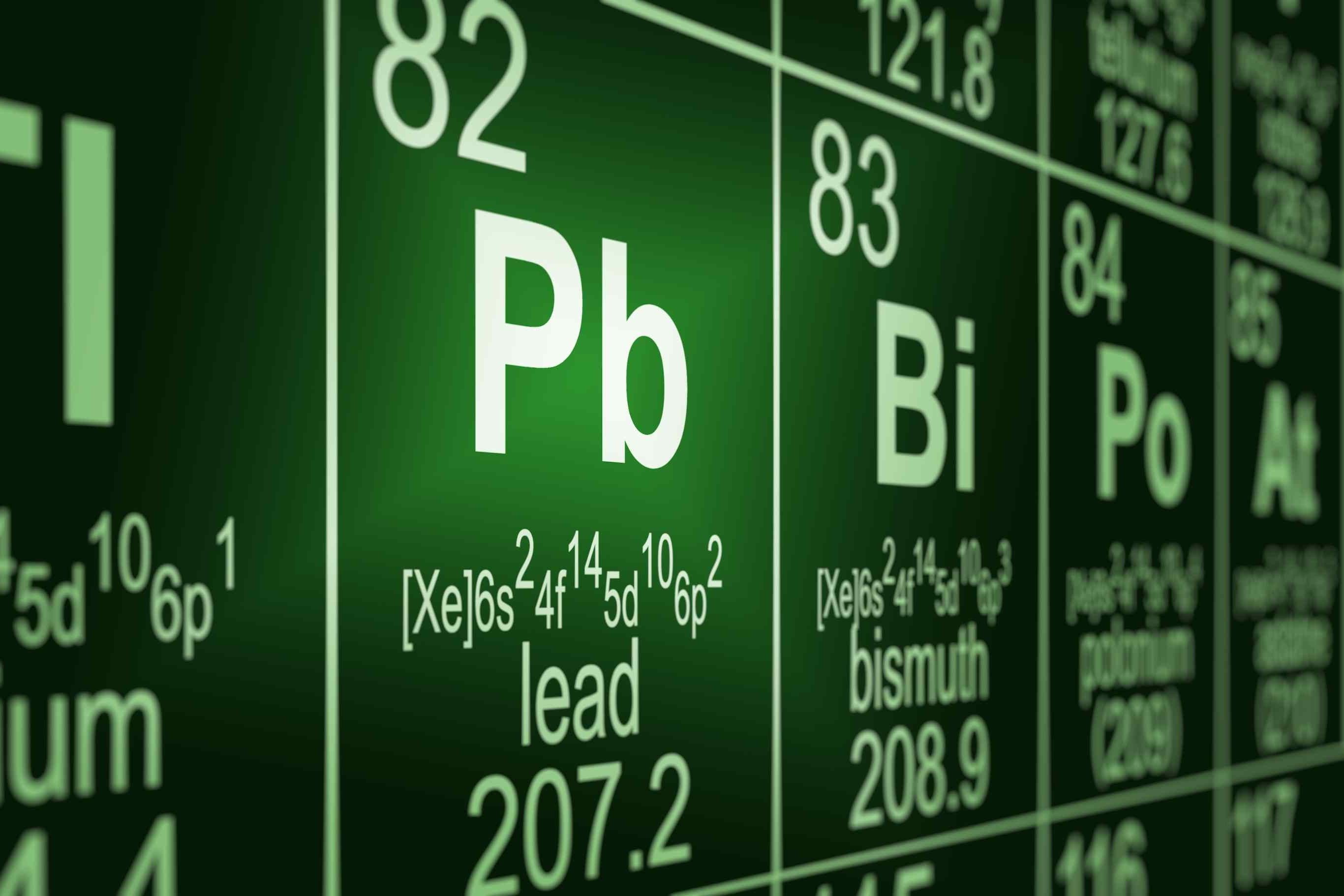
SC26CN02A. Lead in the Environment Geochemistry, Sources, and Remediation (In-Person). Wed-Fri., 7-9 Oct. Price: US$530 for non-members; US$450 for professional members; US$260 for student members; US$350 for early career professional members. CEUs: 2.4. Led by: Sarah M Hayes; Charles N Alpers; Tyler D Sowers; Daniel Brabander; Robert A Root.
REGISTER
SC26CN02B. Lead in the Environment Geochemistry, Sources, and Remediation (Online). Wed-Fri., 7-9 Oct. Price: US$135. CEUs: 2.4. Led by: Sarah M Hayes; Charles N Alpers; Tyler D Sowers; Daniel Brabander; Robert A Root.
REGISTER
SC26CN07. Quantitative analysis, visualization, and modelling of detrital geochronology data. Sat., 10 Oct. 8 a.m.—5 p.m. Price: US$90 for non-members; US$75 for professional members; US$45 for student members; US$60 for early career professional members. CEUs: 0.80. Led by: Joel Saylor; Kurt Sundell; Glenn Sharman; Ryan Nielsen; Chance Ronemus.
REGISTER
SC26CN01. ASBOG FG and PG Exam Prep: By Reg Review. Sat. and Sun., 10-11 Oct. 8 a.m.—2 p.m. Price: US$625. CEUs: 1.2. Led by: Reg Review.
REGISTER
SC26CN04. Landslide mapping using lidar and orthoimagery in a GIS – building fundamental mapping skills for the next generation of landslide scientists. Sat., 10 Oct. 8 a.m.—5 p.m. Price: US$15. CEUs: 0.80. Led by: Stephen L Slaughter; Matthew Crawford; William Burns.
SC26CN09. Preserving Geology: Advanced Digital Outcrop Modeling and Interpretation. Sat., 10 Oct. 8 a.m.—5 p.m. Price: US$180 for non-members; US$150 for professional members; US$90 for student members; US$125 for early career professional members. CEUs: 0.80. Led by: William Brown Hawkins; David Hodgetts; Brian S Burnham.
SC26CN11. Compiling digital stratigraphic models for sedimentary geochemistry, Earth history, and paleobiology. Sat., 10 Oct. 9 a.m.—5 p.m. Price: US$45. CEUs: 0.80. Led by: Erik Sperling; Daven Quinn; Shanan Peters; Una Farrell.
SC26CN13. Introduction to luminescence and electron spin resonance dating and thermochronology techniques. Sat., 10 Oct. 9 a.m.—3:30 p.m. Price: US$100 for non-members; US$85 for professional members; US$50 for student members; US$70 for early career professional members. CEUs: 0.65. Led by: Nathan Brown; Kathleen Rodrigues; Caleb K. Walcott-George.
SC26CN14. Inverting Bedrock River Profiles: Theory, Practice, and Applications. Sat., 10 Oct. 8 a.m.—5 p.m. Price: US$15. CEUs: 0.80. Led by: Sean F Gallen; Frank J Pazzaglia.
SC26CN17. Analyzing the Nation’s geology with the Cooperative National Geologic Map. Sat., 10 Oct. 8 a.m.—5 p.m. Price: US$115 for non-members; US$95 for professional members; US$60 for student members; US$80 for early career professional members. CEUs: 0.80. Led by: Sam Johnstone; Joe Colgan.
SC26CN18. Practical Geoconservation: Global Perspectives on the Protection and Promotion of Geological Sites. Wed., 14 Oct. 1—5 p.m. Price: US$105 for non-members; US$90 for professional members; US$50 for student members; US$75 for early career professional members. CEUs: 0.40.
SC26CN19. AASG Geologic Mapping Field Techniques Exchange. Thu., 15 Oct. 8 a.m.—5 p.m. Price: US$115 for non-members; US$95 for professional members; US$60 for student members; US$80 for early career professional members. CEUs: 0.80. Led by: William Andrews; Joanna Redwine; Adam Ianno; Katie Luciano; Stefan Kirby.
Cancellations with a full refund can be processed up to three weeks prior (19 September, 2026). Cancellations made within three weeks of departure but more than 72 hours in advance are eligible for a 50% refund. Cancellations within 72 hours of the departure date are non-refundable. Refunds will be processed as soon as possible. Please email rtaormina@geosociety.org or fieldtrip@geosociety.org with your cancellation requests.GSA is only responsible for refunding the registration fees paid directly to the Society for short courses. Any costs associated with travel to and from the short course location, including but not limited to airfare, lodging, ground transportation, or other personal expenses, are the sole responsibility of the participant and are not eligible for reimbursement.